Cutting Edge Drone Technology
Drone Surveying Services
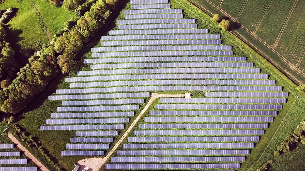
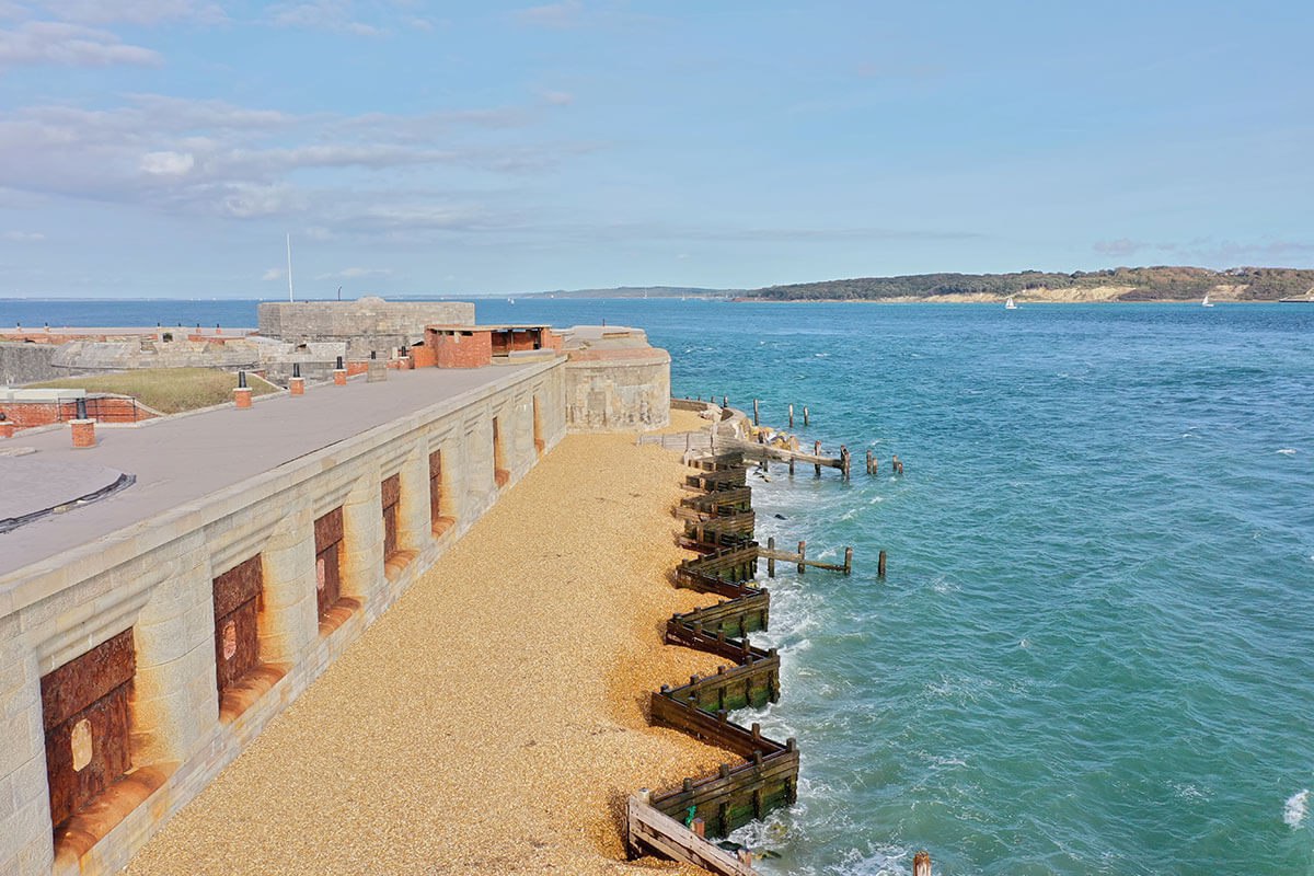
The gathering of survey data needs to be accurate and obtained quickly so that individuals or businesses can make decisions on necessary works. Drone surveying provides next-level fast information through exceptional video and imagery. In commercial use drone data helps businesses decide on various projects in respect of scale and level of investment. For the public sector, drones provide critical information to aid land management, environmental protection and conservation.
Domestic Applications
Initiating your own drone survey puts you in control of any changes to your property. For example, deciding what
planning will be necessary for changes to your property, a drone survey gives you clear information and accurate aerial perspective before initiating costly works.
Property Surveys
Domestic Planning and Development
Landscaping
Building Works
Commercial Applications
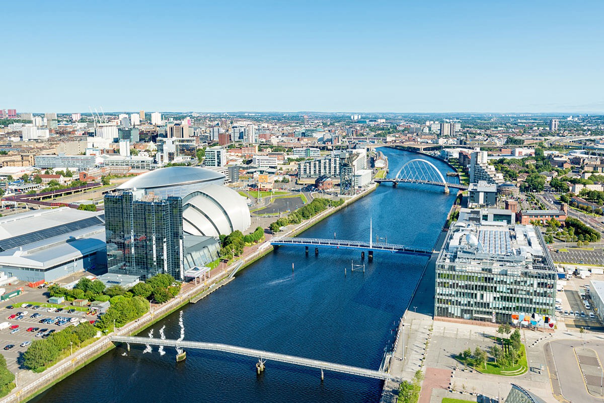
Drones give the surveyor or client a unique perspective and view of the project. Obtaining a complete picture of the land for developers or investors is critical before large-scale commercial projects are initiated, to manage budgets and anticipate potential issues. .
Developers and Investors
Thermal Imaging
Increased Health and Safety
Warehousing and Manufacturing
Public Sector Applications
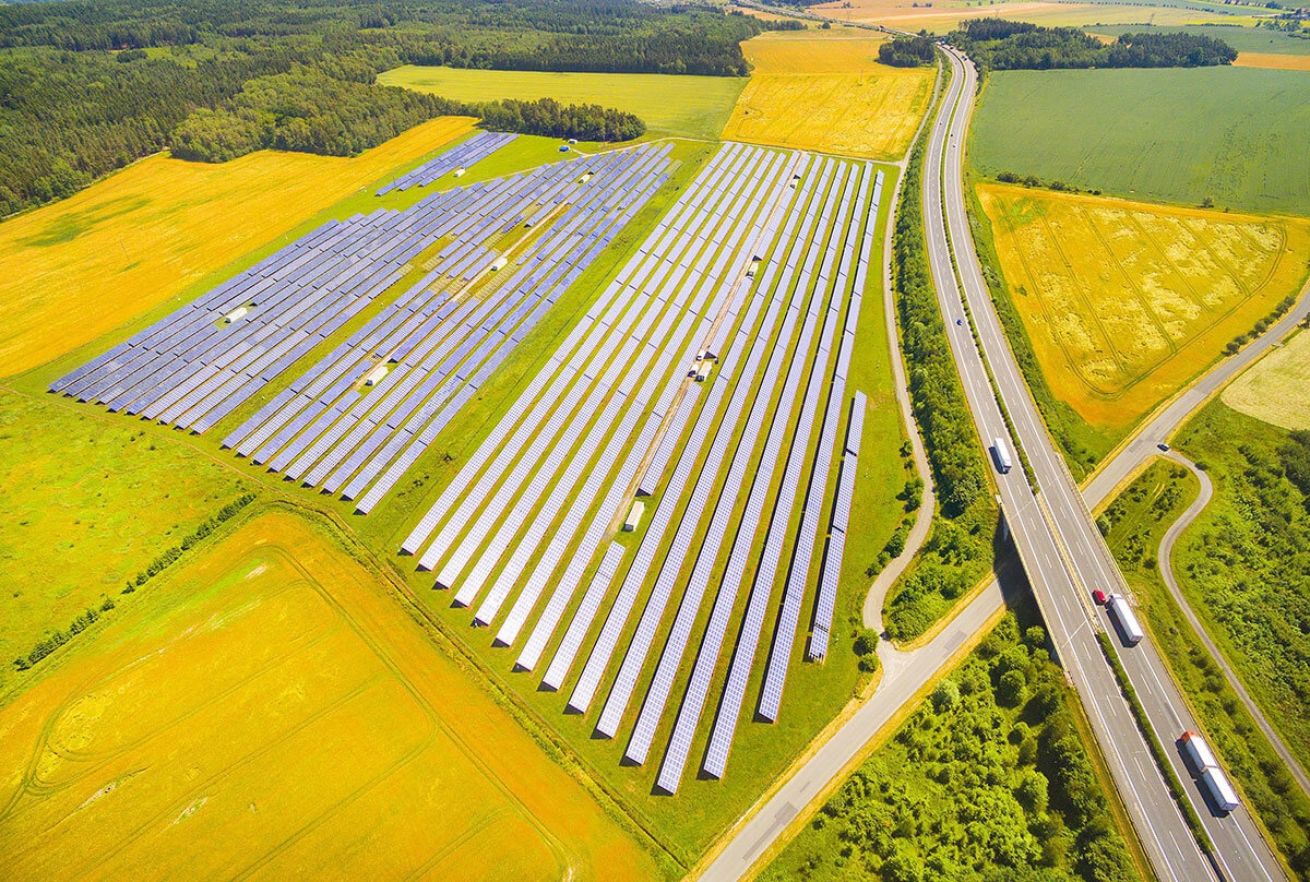
Managing costs in and minimising health and safety risks have always been at the forefront in the public sector. Surveying for environmental purposes such as agricultural areas, forest management and conservationcan be carried out quickly and safely with a cost-effective drone solution.
Listed Buildings
Agricultural Surveys
Forest Management and Conservation
Increased Health and Safety
Useful Information

