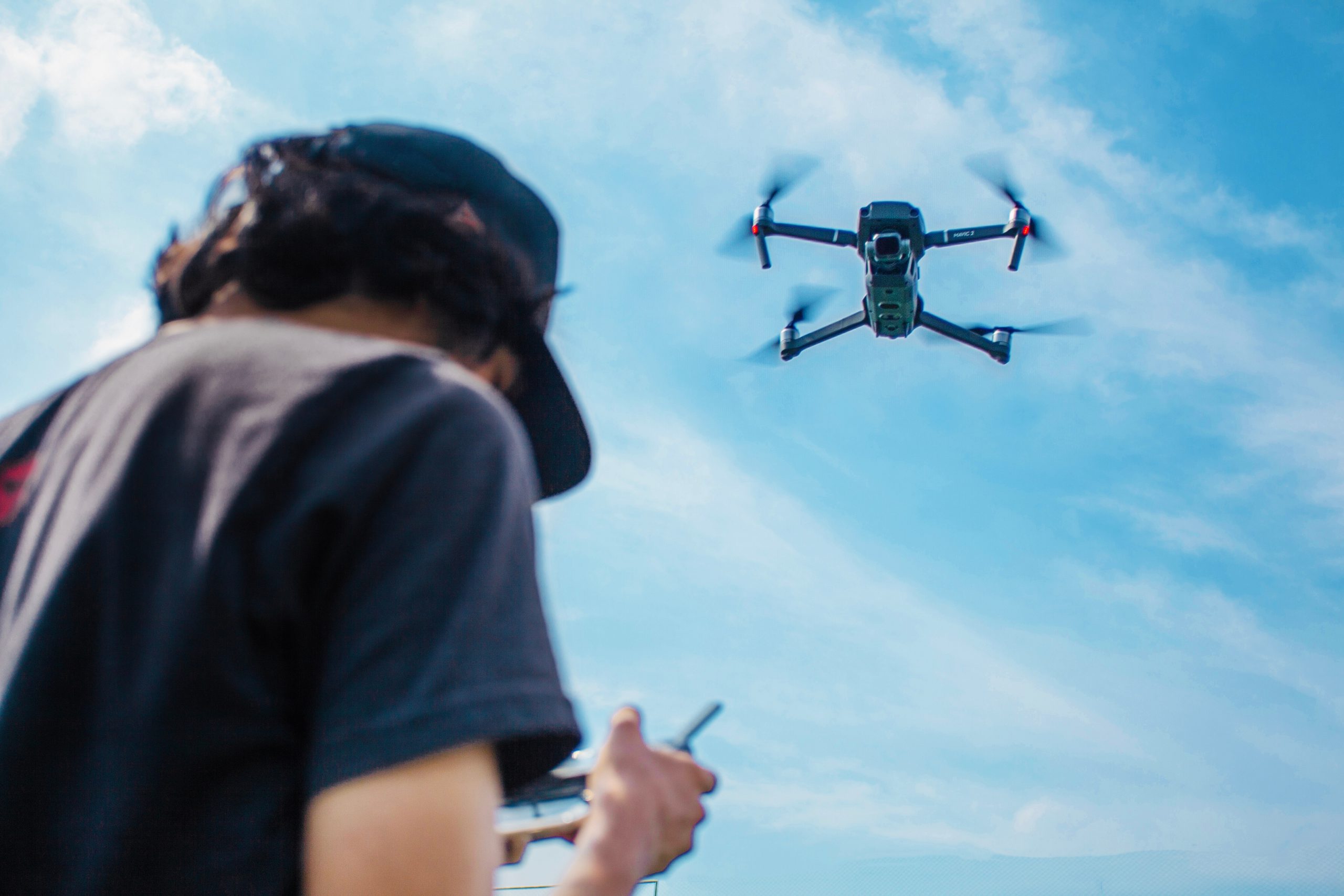
Cutting Edge Drone Technology
Drone Mapping Services
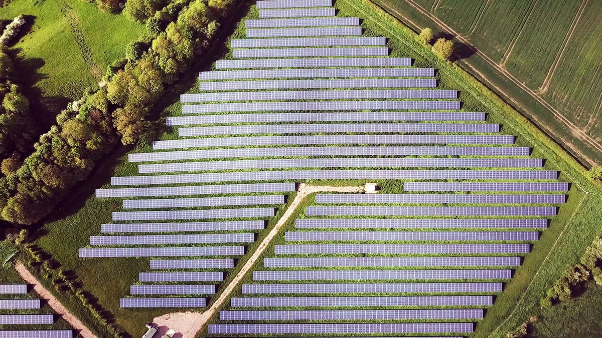
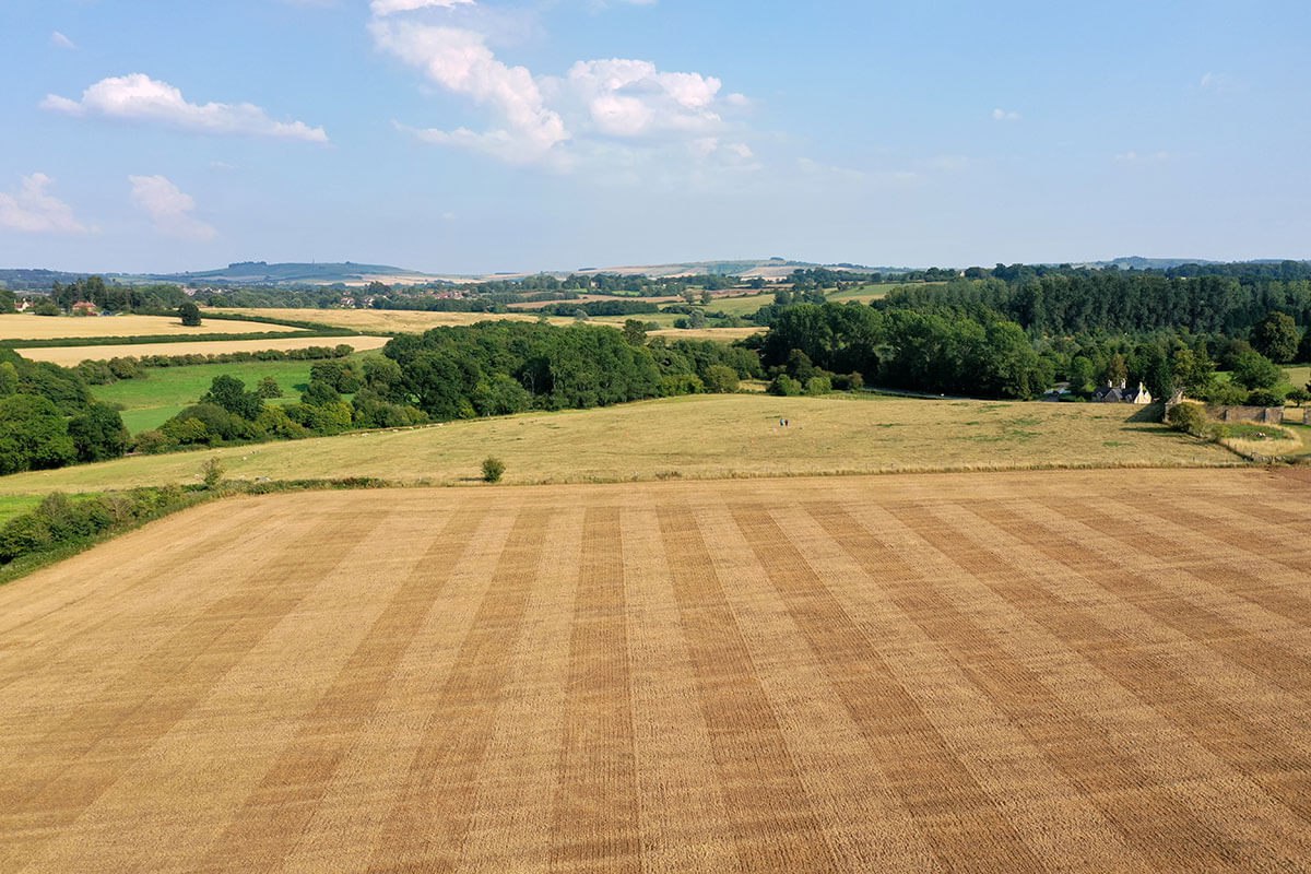
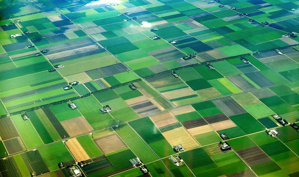
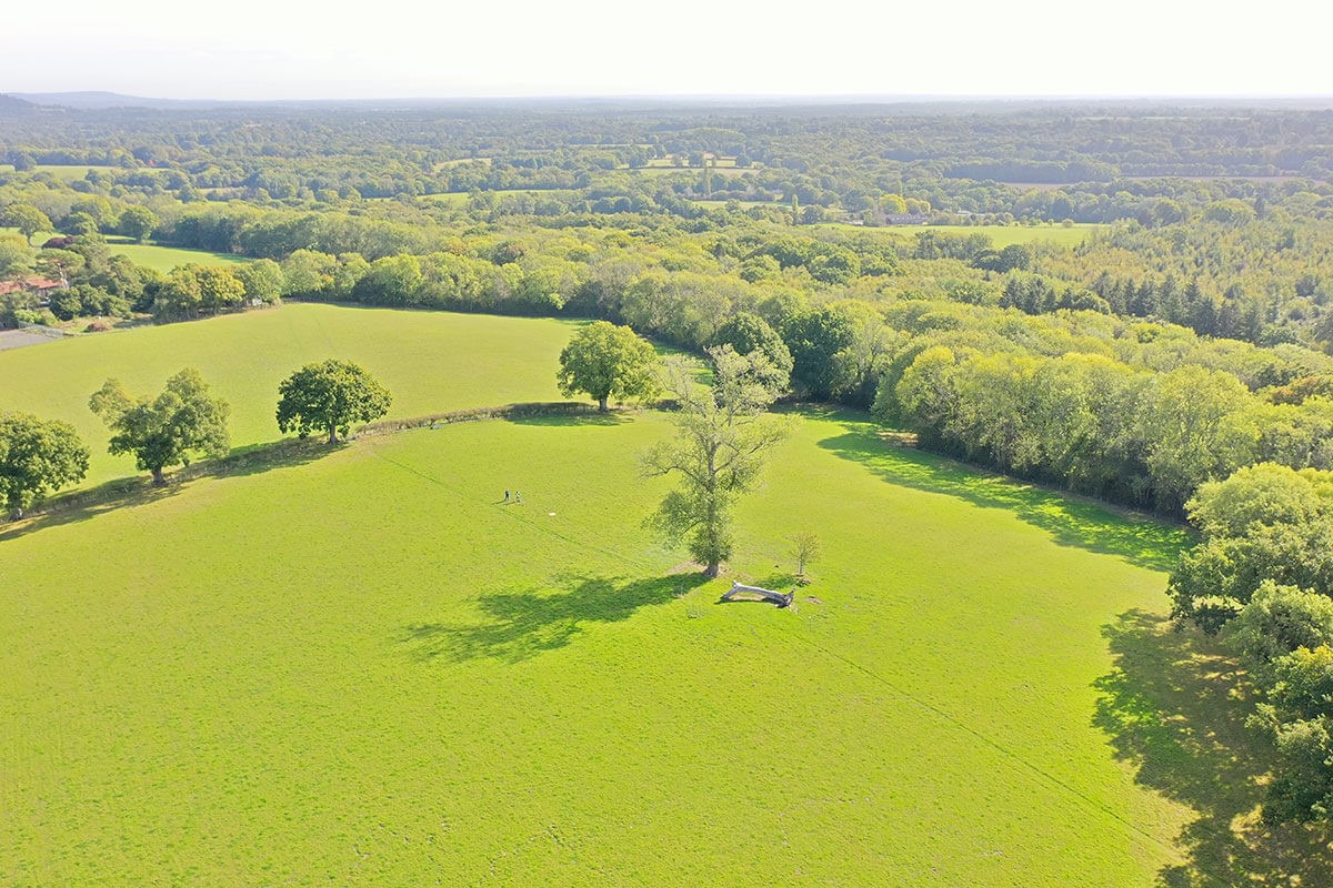
When you need to map a vast geographical area, drone mapping can gather the data you need quickly and accurately. This is a cost-effective solution that captures the dimensions needed for a range of uses such as agriculture, forestry, government, and general cartography.
Domestic Applications
If you are a homeowner, drone mapping could provide you with critical information about your property and the surrounding area. It can help you make decisions about renovations and changes to the property before you embark on costly work.
Building Work
Estate Agency
Landscape Gardening
Roof Inspection
House Renovations
Commercial Applications
There are multiple commercial projects that need mapping carried out through an an efficient, fast solution that produces all the data required. Drone mapping has transformed cartography and enables commercial enterprises to gain a clear picture of land and assets.
Property Developers
Industrial Farming
Agriculture
Land Management
Urban Planning
Public Sector Applications
There are multiple reasons for mapping to be carried out in the public sector such as local government needing up-to-date geographical information. Continuous mapping of coastal regions to monitor erosion and flood risks are vital, and drones provide this valuable information.
Forestry Commission
Vital Data for DEFRA
Local Government Mapping
Coastguard
National Trust Areas of Historical Importance
Useful Information

